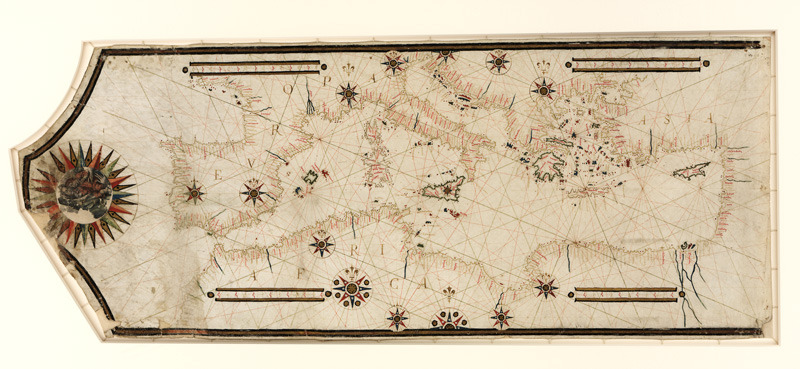
A 16th-century portolan chart of the Mediterranean
This 16th-century portolan chart of the Mediterranean is vastly more accurate than any Ptolemaic map.
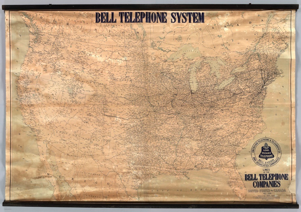
Bell Telephone System
Circa 1910 map
What the map of Africa might look like had colonists not carved it up
Africa is not a country. It’s an entire continent filled with an amazing, unparalleled diversity of languages, peoples and nations, some of the latter among the most heavily urbanized places on the entire planet.